News —
Future surveillance - How drones can map threats and help take down terrorists
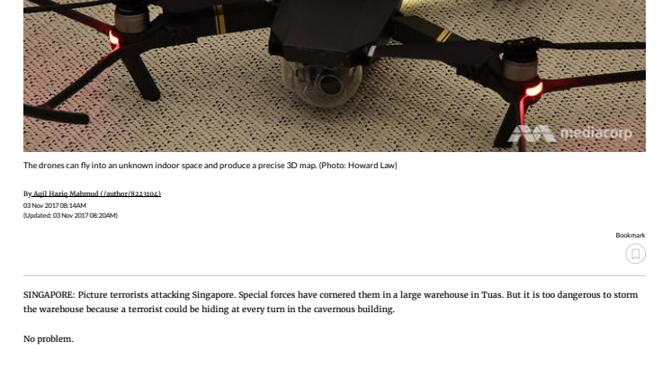
SINGAPORE: Picture terrorists attacking Singapore. Special forces have cornered them in a large warehouse in Tuas. But it is too dangerous to storm the warehouse because a terrorist could be hiding at every turn in the cavernous building.
No problem.
The forces throw in a team of 10 drones. The machines map the warehouse meticulously, drawing up a rich colour image showing every entrance and exit, every object and obstacle, every friend and foe.
This futuristic scenario might soon be a possibility, with defence research and development organisation DSO’s indoor drone-mapping capability.
Designed for counter-terrorism operations, the drones use cameras and infra-red mapping technology to create a real-time, 3D layout of previously uncharted indoor territory.
The cameras provide the colour, while the infra projectors provide details such as accurate measurements of the size of an obstacle or the width of a passageway.
“This is the probably the first time you’ll see such an integrated system,” said Mr Poh Yze Yang, a senior member of technical staff in DSO’s guided systems division.
PUTTING THEM TO THE TEST
During a demonstration in the DSO complex, two drones mapped a library the size of a five-room Housing Development Board flat in four minutes.
This was when the drones were flying at a slower, safe speed. They can map the library in half the time, or just two minutes, Mr Poh said.
The 3D map produced details down to the colour of the cushions in the library and revealed a hidden alleyway around the back.
As for how big a space the drones can explore, Mr Poh said there is no limit, as long as a data link is maintained.
“We can scale up to more than 10 drones, so long as the data link is able to support the data bandwidth transfer,” he added.
A CUT ABOVE THE REST
This technology also stands out because it does not rely on Global Positioning System (GPS) - which works poorly indoors and may not be available during wartime.
In addition, the drones rely on automatic path planning, meaning they can explore an entire space without smashing into obstacles.
“When you want to go into a room that’s deemed unsafe, the first few seconds are actually very precious,” Mr Poh said. “If they know a threat is in a certain corner of the room, they can react to that corner.”
So why not send in existing robots that can capture video and do the same job? A video feed will not be able to show precise measurements, Mr Poh explained.
“If you have a very narrow alleyway, you need to know exactly how narrow it is. It’s not just a proportionate map, it’s an accurate map,” he said. “So, you can plan for other unmanned assets to squeeze through whatever space that is available.”
And would the drones be defenceless against armed terrorists? Mr Poh said that if a drone is shot down, you would know there are hostile forces inside, and there can be multiple drones working together as back-up.
FUTURE DEVELOPMENTS
While the technology is currently being tested on commercially available drones, there are plans to export it to DSO’s in-house drones.
As the technology develops, classification of hostile and friendly forces in the 3D map will be possible, he added.
Mr Poh also noted that the technology can be brought outdoors, if the current infra projectors, which do not work well under sunlight, are replaced with other types of sensing technology.
“Let’s say we change this out to stereo cameras or LIDAR (light detection and ranging), we can definitely bring the concept outdoors.”
Full article at https://www.channelnewsasia.com/news/singapore/future-surveillance-how-drones-can-map-threats-and-help-take-9360886
Related links
Topics
- Engineering
Categories
- innovation@dso