Image -
Greenland - ground penetrating radar
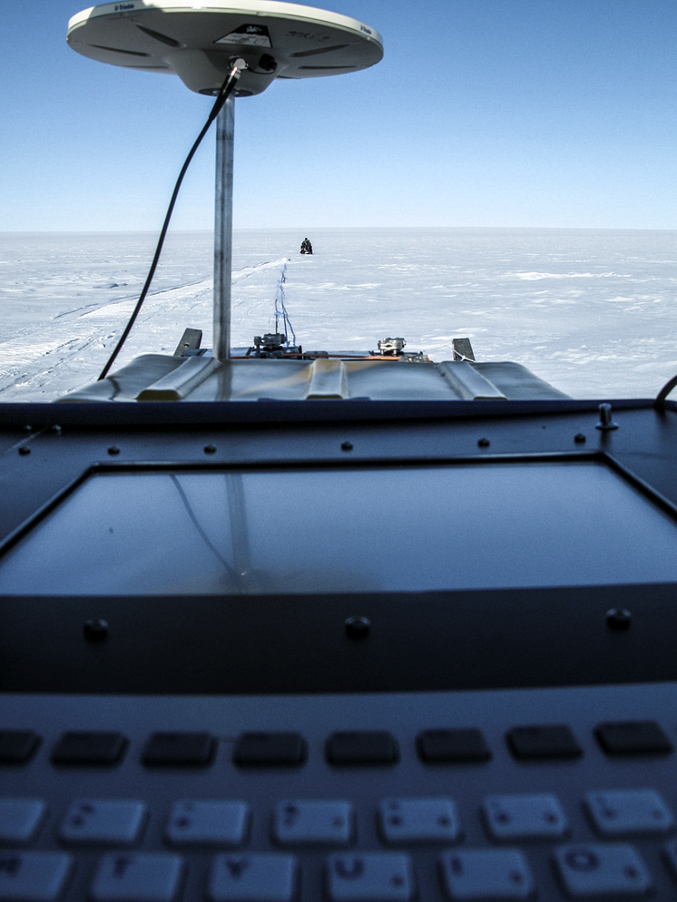
Measurement of the ice thickness of Greenland ice sheet using ground penetrating radar .
Foto: Katrin Lindbäck
Katrin Lindbäck
- License:
- Creative Commons Attribution, no derivatives
With a Creative Commons license, you keep your copyright but allow people to copy and distribute your work provided they give you credit. You permit others to copy, distribute and transmit only unaltered copies of the work — not derivative works based on it.
- By:
- Katrin Lindbäck
- File format:
- .tiff
- Size:
- 1213 x 1617, 2.74 MB
