Working together to deliver a successful Census 2021
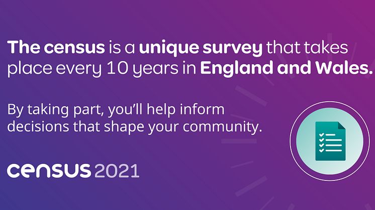
The Office for National Statistics is working with Bury Council to deliver a successful census and help local services to fully meet future needs.
The Office for National Statistics is working with Bury Council to deliver a successful census and help local services to fully meet future needs.

Council staff whose backroom work has a huge effect on how services are planned and provided have won a number of national awards.

A new data observatory packed with facts and figures about Bury can now be accessed online.
Bury Council consists of six towns, Bury, Ramsbottom, Tottington, Radcliffe, Whitefield and Prestwich. Formed in April 1974 as a result of Local Government re-organisation it was one of the ten original districts that formed the County of Greater Manchester. The Borough has an area of 9,919 hectares (24,511 acres) and serves a population of 187,500.

Knowsley Street
BL9 OSW Bury, Lancashire