Direkt zum Inhalt springen

Kategorien: satellite data

  • GAF AG awarded contract for CAP-Area Monitoring 2024 in Bavaria

    GAF AG awarded contract for CAP-Area Monitoring 2024 in Bavaria

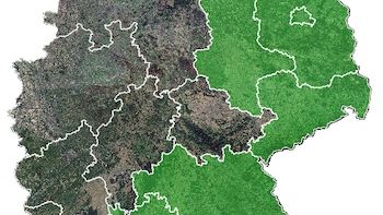
    As part of the European Common Agricultural Policy (CAP), GAF AG, an e-GEOS (Telespazio/ASI) company, has been awarded a multi-year framework contract for the automated analysis of satellite data for the monitoring of all agricultural areas in the German federal state of Bavaria.

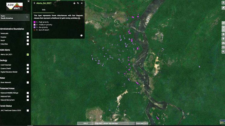
  • Detail example of ASM alerts for the Quarter IV in 2021 – lilac dots on the BING map background indicate new activity along river courses. The closer the dots are to the river, the higher the probability is that the forest disturbance relates to ASM.

    Satellite data help to detect artisanal mining - GAF AG develops the “ASM Alert” web platform

    GAF has developed and implemented an easy-to-use web-based system to recognise indications of unlicenced artisanal and small-scale mining (ASM) in tropical forests - the “ASM Alert” platform. The platform combines free and publicly available satellite data – in particular European Copernicus Sentinel imagery - with a number of other geodata layers and machine-learning for the analysis.

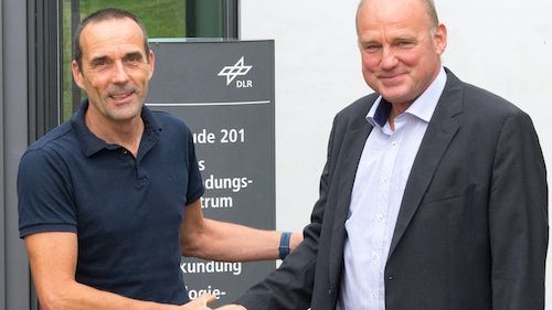
  • 25 years of successful cooperation between GAF, DLR and Antrix Dr. Sebastian Carl (GAF) and Holger Maass (DLR) at the DLR campus Neustrelitz  (© GAF AG)

    25 years of successful cooperation between GAF AG, DLR and Antrix

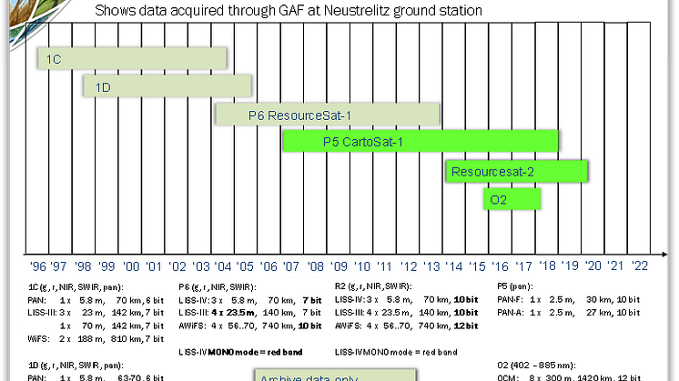
    GAF, the German Aerospace Center (DLR) in Neustrelitz and Antrix Corporation have a successful cooperation stretching back 25 years. In 1996, they signed agreements for the purpose of receiving Indian Earth observation data and distributing the data to European customers on an exclusive basis. That was the starting point for 25 years of successful cooperation.

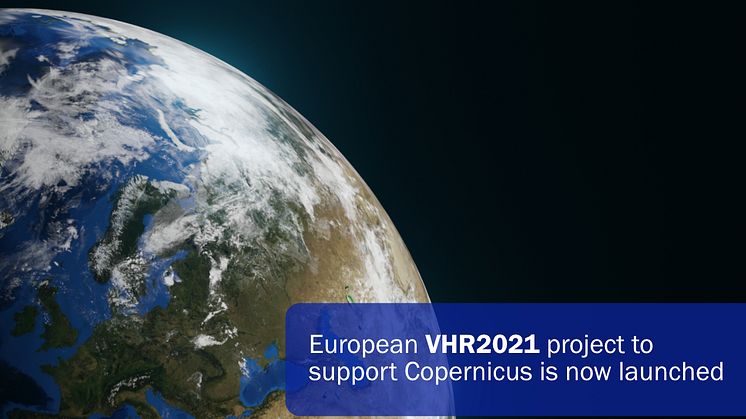
  • European VHR2021 project to support Copernicus is now launched

    European VHR2021 project to support Copernicus is now launched

    The Airbus-led consortium with GAF, selected by the European Commission and the European Space Agency (ESA), has started acquiring data to provide the Copernicus Earth Observation Programme with very high-resolution (VHR) satellite-based image coverage of Europe for 2021.

  • Image © 2017 Planet Labs Germany GmbH. All rights reserved

    GAF AG Signs Distribution Partnership with Planet

    GAF’s GEO-Information experts have now signed up Planet, one of the global leading providers of high frequent Earth Observation data to extend GAF’s multisource satellite data and service portfolio for a new quality of timely observations.