Direkt zum Inhalt springen

Themen: Natur- und Umweltschutz

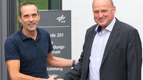
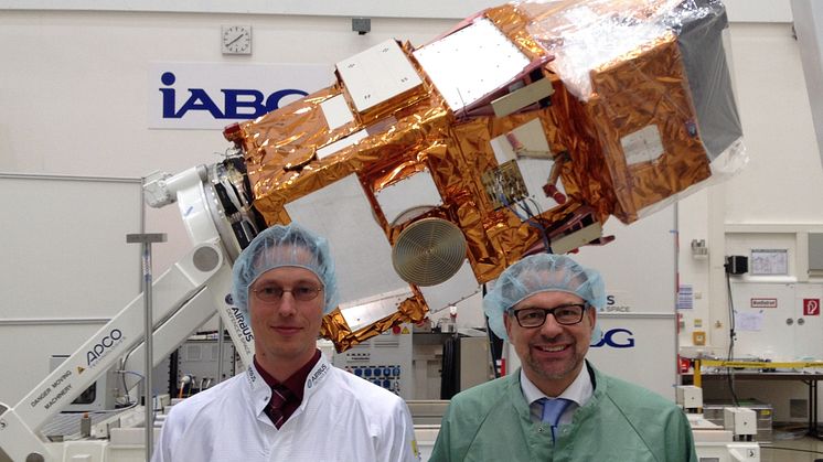
  • 25 years of successful cooperation between GAF, DLR and Antrix Dr. Sebastian Carl (GAF) and Holger Maass (DLR) at the DLR campus Neustrelitz  (© GAF AG)

    25 years of successful cooperation between GAF AG, DLR and Antrix

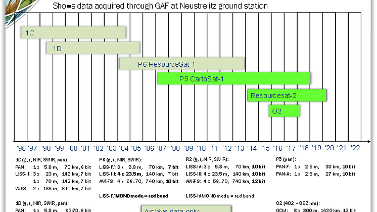
    GAF, the German Aerospace Center (DLR) in Neustrelitz and Antrix Corporation have a successful cooperation stretching back 25 years. In 1996, they signed agreements for the purpose of receiving Indian Earth observation data and distributing the data to European customers on an exclusive basis. That was the starting point for 25 years of successful cooperation.

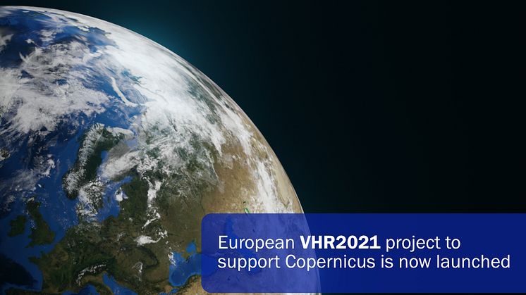
  • European VHR2021 project to support Copernicus is now launched

    European VHR2021 project to support Copernicus is now launched

    The Airbus-led consortium with GAF, selected by the European Commission and the European Space Agency (ESA), has started acquiring data to provide the Copernicus Earth Observation Programme with very high-resolution (VHR) satellite-based image coverage of Europe for 2021.

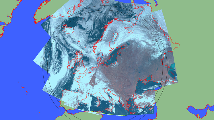
  • Figure 1: Level 1C products of Oceansat-2 OCM data acquired on 8th and 9th April 2018  picture: GAF AG

    GAF CONTINUES TO PROVIDE OCEAN COLOUR DATA TO ESA OPERATIONALLY

    GAF AG, the exclusive supplier in Europe of optical Indian Remote Sensing data from several missions, continues the operational provision of ocean colour data from the Ocean Colour Monitor aboard the Indian Oceansat-2 in near real time to ESA to further promote scientific research and applications.

  • ​GAF and partners awarded contract to map European riparian zones

    A European consortium headed by GAF AG has been awarded a contract by the European Environment Agency (EEA) to implement the geographic extension (2012) and complete update (2018) of the Copernicus Land Monitoring Service’s Riparian Zones dataset. The project team consists of four experienced European service providers: GAF (Germany), e-Geos (Italy), GeoVille (Austria) and Indra (Spain).

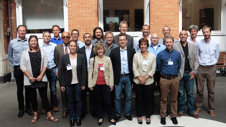
  • The HRL 2015 team at Kick-Off: EEA, ESA, GAF, GeoVille, SIRS, e-Geos and ETC-ULS members (© M. Probeck)

    ​GAF, GeoVille, SIRS and e-GEOS contracted by the European Environment Agency to implement the Copernicus Land Monitoring Service — High Resolution Layers 2015

    The European Environment Agency (EEA) has recently contracted GAF AG and its international partners to implement the update of the Copernicus High Resolution Layers (HRLs) Imperviousness, Forest, Grassland, Water/Wetness and Small Woody Features in the frame of the continental component of the Copernicus Land Monitoring Service (CLMS).

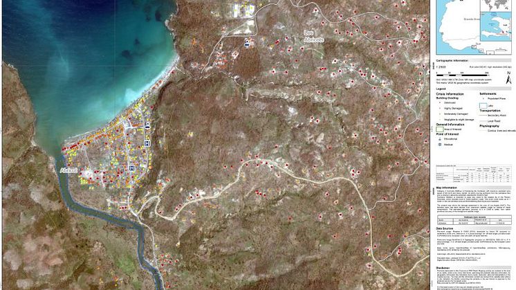
  • Beispiel einer erstellten Schadenskarte von Haiti (Abricots) © European Commission, Copernicus Emergency Management Service  credits: GAF

    ​GAF dauerhaft aktiv in der Notfallkartierung des Copernicus- Katastrophenmanagement-Service

    Seit dem schweren Erdbeben Ende August diesen Jahres in Italien wurde der „Rapid Mapping“-Dienst des Copernicus-Katastrophenmanagement-Service aufgrund zahlreicher Naturkatastrophen innerhalb kürzester Zeit wiederholt aktiviert. Das 24/7-Team der GAF ist seither fortlaufend im Einsatz und unterstützt die Notfallkräfte vor Ort durch die schnelle Bereitstellung von Geoinformationsprodukten.