Press release —
Have your say on a draft flood risk plan for Bury
A six-week consultation is taking place from 30 October to 11 December on an updated draft of Bury Council’s Local Flood Risk Management Strategy.
As lead local flood authority, Bury Council has a statutory duty to develop, maintain, apply and monitor a strategy for local flood risk management that complements the Environment Agency’s national flood risk management strategy. Bury also works alongside the other authorities in Greater Manchester to prevent flood risk.
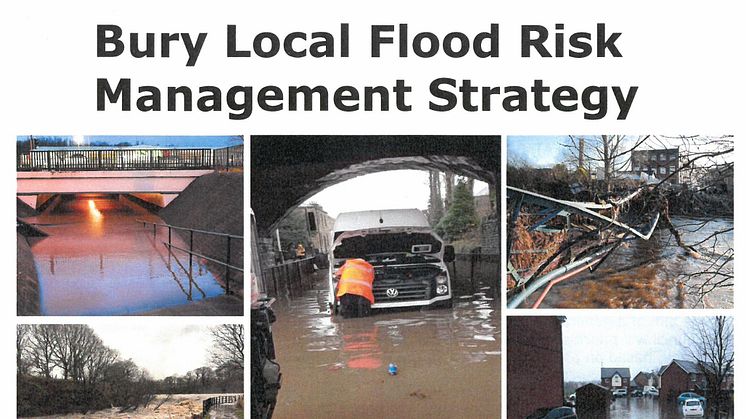
The draft consultation document covers the main sources of flooding as well as focusing on the council’s specific responsibilities for local flood risk from surface water, groundwater and ordinary watercourses. The rivers that run through Bury such as the Irwell, Roch and Kirklees Brook are the responsibility of the Environment Agency.
The three main aims of the Bury Local Flood Risk Management Strategy are to:
- Increase awareness of local flood risk issues
- Identify how partners such as the Environment Agency and United Utilities are working together to reduce flood risk
- Provide an overview of ongoing flood risk management within the borough, together with an action plan and a programme of schemes
A number of potential schemes have been identified to help reduce flood risk, the most significant of which is the Radcliffe and Redvales flood defence scheme led by the Environment Agency. They have consulted on the options for this scheme and hope to announce the preferred option at the end of the year. The go-ahead will depend on the cost and the grant available. Bury Council has committed £2 million towards the cost of the scheme.
Another scheme of note is the new Sustainable Urban Drainage System in Prestwich which will prevent localised flooding caused by heavy downpours.
Councillor Alan Quinn, cabinet member for the environment, said: “With extreme weather events due to climate change, it isn’t possible to prevent all flooding, but we can consider the risks faced and ways in which the risks and potential consequences can be managed.
“This consultation gives people an important opportunity to have their say on the schemes we have identified to help address potential flood risk in our borough.”
To view the consultation document and find out how to comment visit www.bury.gov.uk/floodriskstrategy
For advice on what to do before, during and after a flood visit www.bury.gov.uk/flooding-advice
ENDS
Press release issued: 30 October 2017.
For further information please contact Peter Doherty in the council press office on 0161 253 6096. Alternatively please email communications@bury.gov.uk
Related links
Topics
Categories
Regions
Find us on: Facebook.com/burycouncil, Flickr.com/buryphotos. @burycouncil and bury.gov.uk