Press release —
Have your say on a new political map for Bury Council
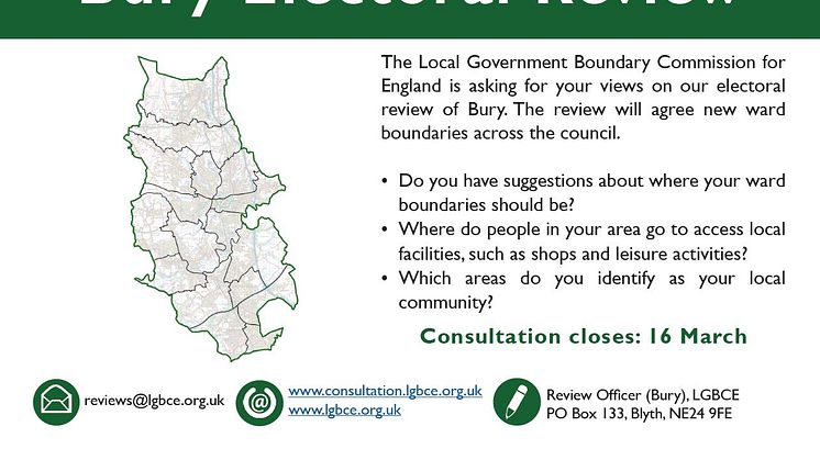
Residents have until Tuesday (16 March) to give their views on a new pattern of electoral wards which is being developed for Bury Council.
The Local Government Boundary Commission for England has decided that the number of councillors on Bury Council should be 51, the same as now.
The Commission wants to hear what residents and organisations think about the political map in their local area.
The Commission is the independent body that draws these boundaries. It is reviewing Bury Council to make sure councillors represent about the same number of electors, and that ward arrangements help the council work effectively. It wants to be sure that its proposals reflect community ties and identities.
The Commission is interested in views on which communities should be part of the same ward. What facilities do people share, such as parks, leisure centres or schools and shopping areas? What issues do neighbouring communities face that they have in common, such as high numbers of visitors or heavy traffic? Have there been new housing or commercial developments that have changed the focus of communities? And are there roads, rivers, railways or other features that people believe form strong boundaries between neighbourhoods?
The Commission will use local views to help it draw up proposals for new ward boundaries. There will be a further round of consultation once the Commission has drawn up those proposals.
Colin Mellors, Chair of the Commission, said: “We want people in Bury to help us. We are starting to draw up new wards for Bury Council. We want our proposals for new electoral arrangements to reflect communities. We also want them to be easy to understand and convenient for local people.
“Residents and local organisations can help us understand community ties and identities at this early stage of the process.
“It’s easy to get involved. Go to our website. Or you can e-mail or write to us. Just tell us what you think and give us some details why you think that. It’s really simple, so do get involved.”
The Commission has a dedicated section on its website where people can give their views: https://consultation.lgbce.org.uk/have-your-say/24335
People can also give their views by email at reviews@lgbce.org.ukand by post:
The Review Officer for Bury
LGBCE
PO Box 133
Blyth
NE24 9FE
ENDS
Press release issued: 12 March 2021.
Notes to editors:
An interactive map is available at https://consultation.lgbce.org.uk/have-your-say/24335
The Local Government Boundary Commission for England is an independent body accountable to Parliament. It recommends fair electoral and boundary arrangements for local authorities in England. In doing so, it aims to:
• Make sure that, within an authority, each councillor represents a similar number of electors
• Create boundaries that are appropriate, and reflect community ties and identities
• Deliver reviews informed by local needs, views and circumstances
Topics
Categories
Regions
Find us on: Facebook.com/burycouncil, Flickr.com/buryphotos. @burycouncil and bury.gov.uk